Saint Paul Minnesota, Birds Eye View Map - 1906


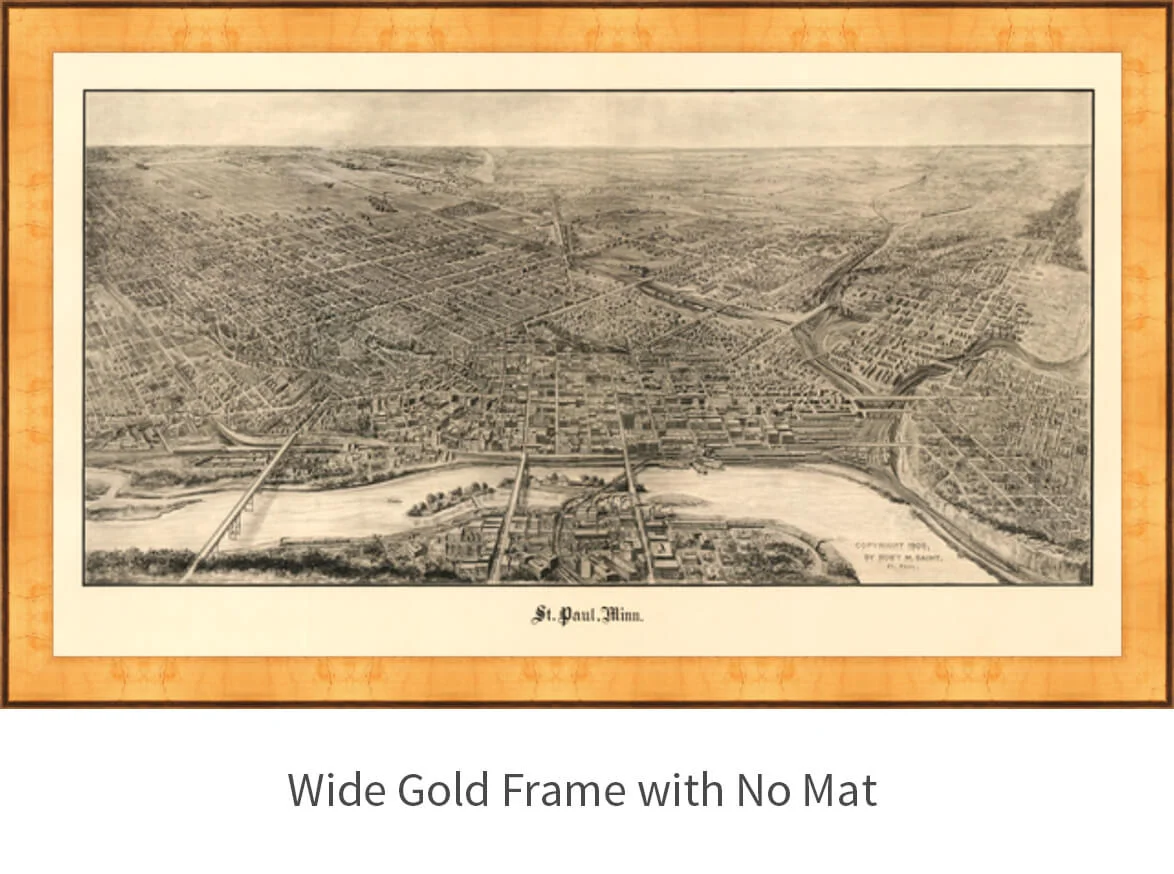


Saint Paul Minnesota, Birds Eye View Map - 1906
This bird’s eye view map of St Paul, Minnesota was published in 1906 by Robert M. Saint and pictures Minnesota’s capitol city and the Mississippi River. St Paul was evolving from it roots as a lumber, and agricultural background into a manufacturing and business center in 1906. The Mississippi River city was established at the beginning of the Great Northern Railway which carried thousands westward beginning in 1893. This detailed illustration includes streets, buildings, bridges and railroad routes.
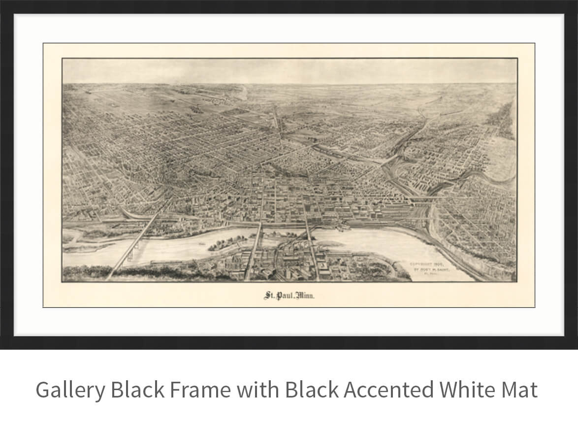
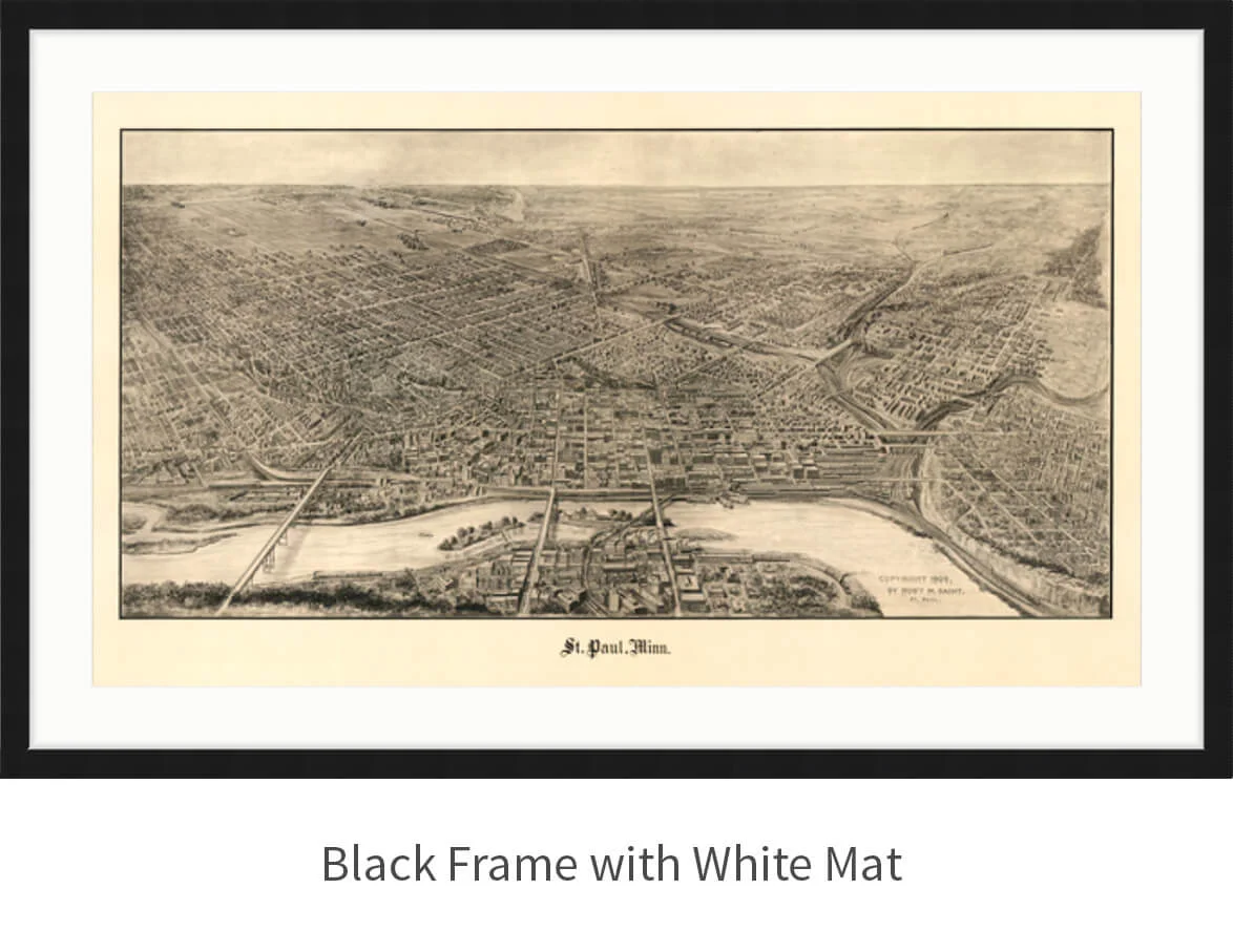
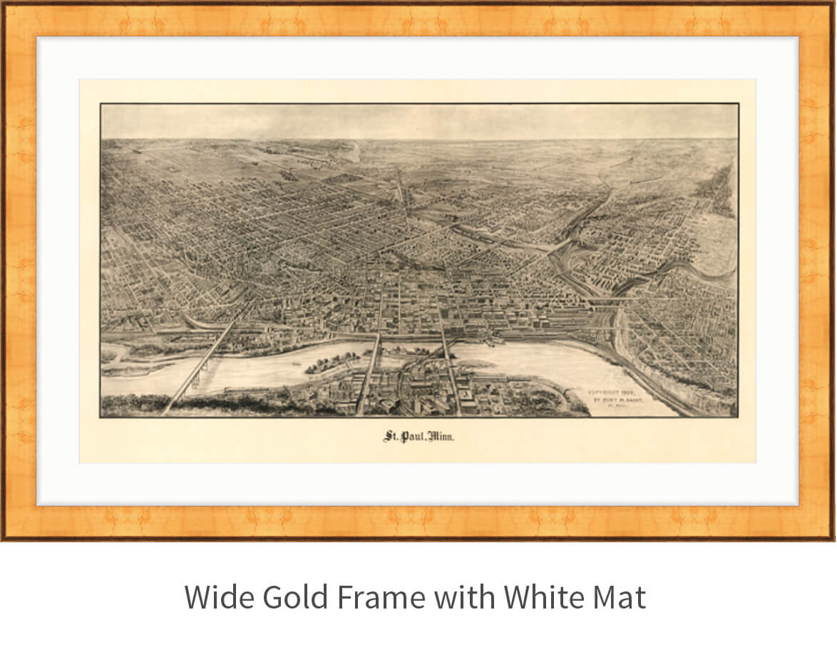
Click the image thumbnails to view frame and mat options.
"Bird's Eye View" was a popular cartographic rendering used to depict cities and towns during the late 1800’s and early 1900’s. They show street patterns, individual buildings, and major landscape features in perspective. Preparation and sale of these maps were motivated by civic pride and the desire of the city fathers to encourage commercial growth. Going to great lengths to make these maps, artists would often climb surrounding hills or trees, sometimes even building platforms from which to achieve the "bird's eye" perspective. They also used to take rides in hot air balloons in order to get the proper perspective. To bolster sales of these old panoramic city maps, the artists would often choke town harbors full of ships, include proposed building developments and depict a vivacious, bustling industry.
Looking for more frame and mat options?
Shoot us a message and we will get you our full range of custom options.


