Chicago Birds-Eye-View Parks & Railroads Map -1908


Chicago Birds-Eye-View Parks & Railroads Map -1908
from $70.00
This is a beautiful birds-eye-view map of the elevated railroads, parks, and boulevards of Chicago, originally printed in 1908.
It is printed on high-quality archival paper and made to order. Add a frame to your map and we’ll have it custom built and delivered to your door with free shipping.
This map will have any Chicago native pouring over the beautifully detailed streets and parks. It was originally published by Willis J. Champion in 1908.
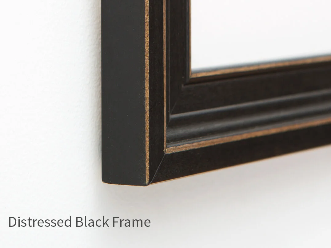
(Click image thumbnails to view frame and mat options.)
Frame:
Print Size:
Mat:
Quantity:
Looking for more frame and mat options?
Shoot us a message and we will get you our full range of custom options.


