Map of New York City, Brooklyn, and Vicinity - 1885


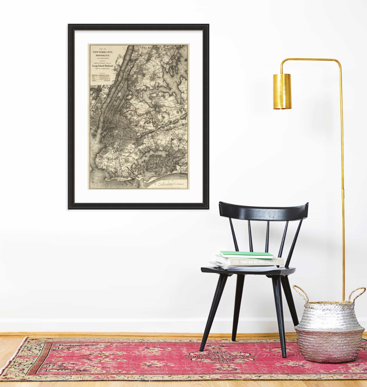


Map of New York City, Brooklyn, and Vicinity - 1885
from $30.00
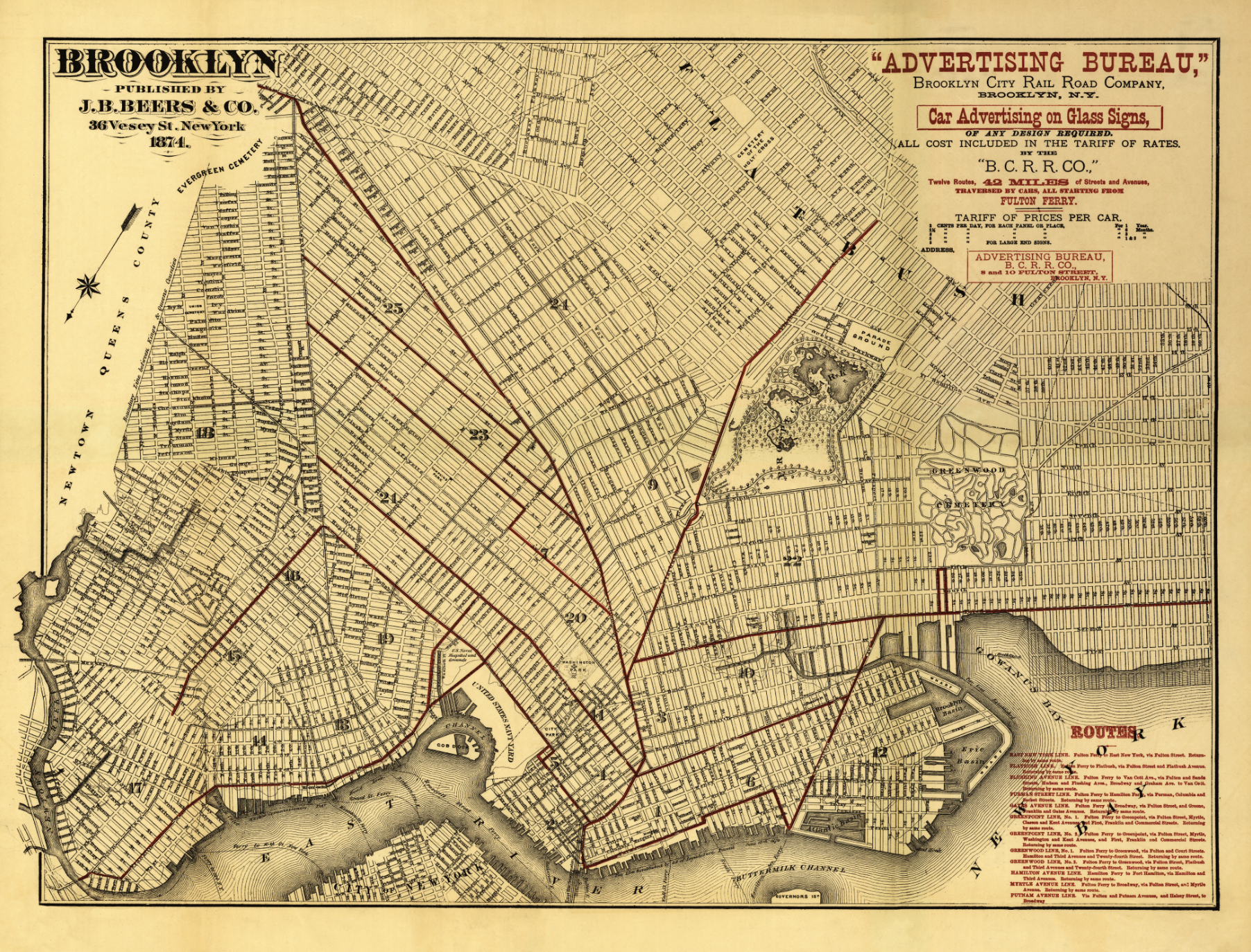
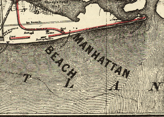
Archival Map Print of New York City, Brooklyn, and vicinity showing surface & elevated railroads in operation and proposed. Shows relief by hachures, drainage, parks, some buildings, names of property owners, streets, roads, and the railroads distinguished by line symbols.
Print size: 23”x 32.92”
Final Frame Size 31.38" × 41.25"
Options:
Quantity: