Map of Connecticut - 1849


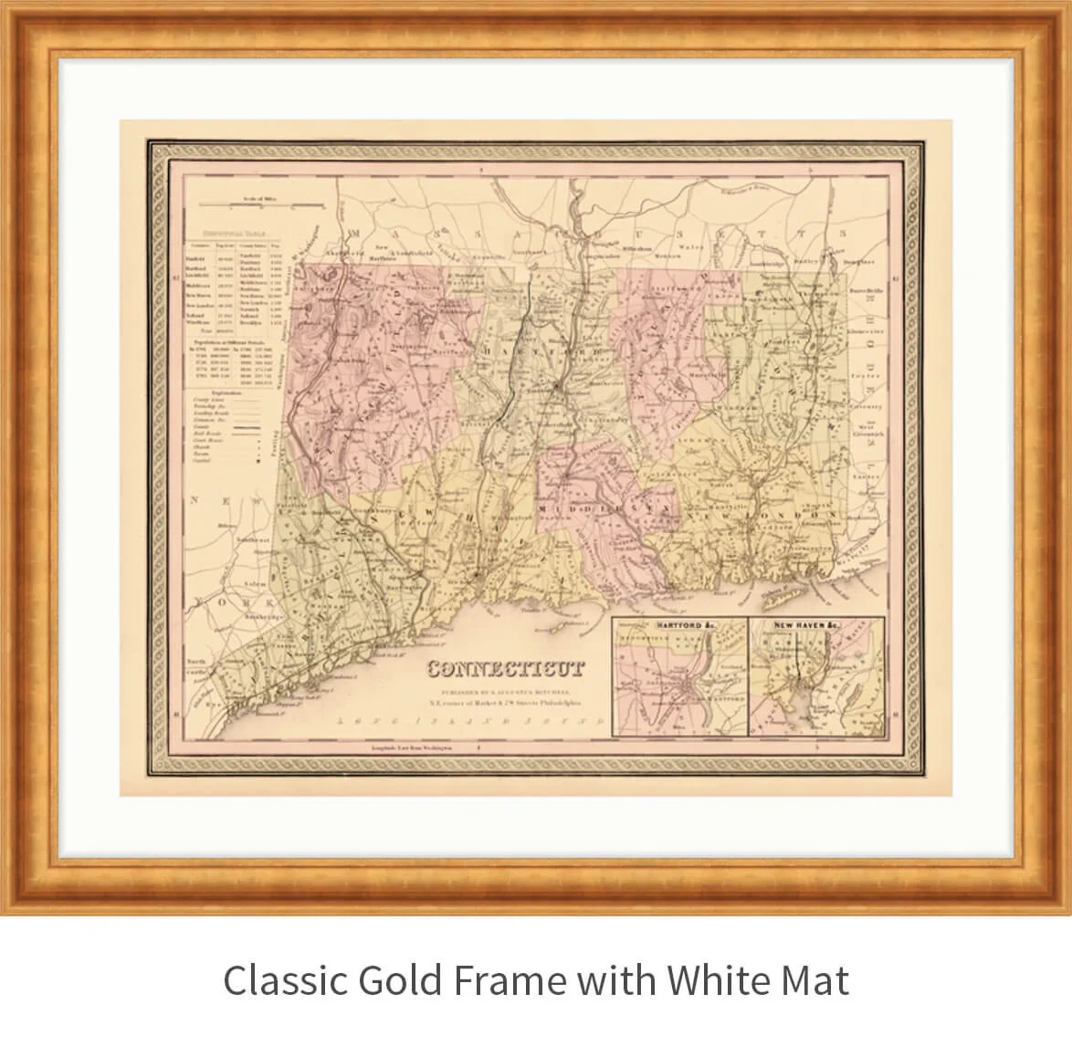
Map of Connecticut - 1849
from $300.00
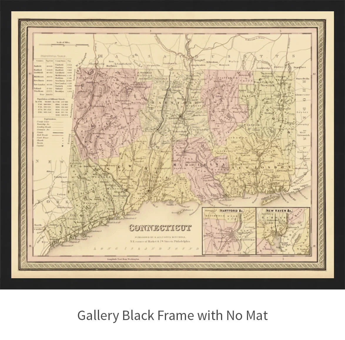
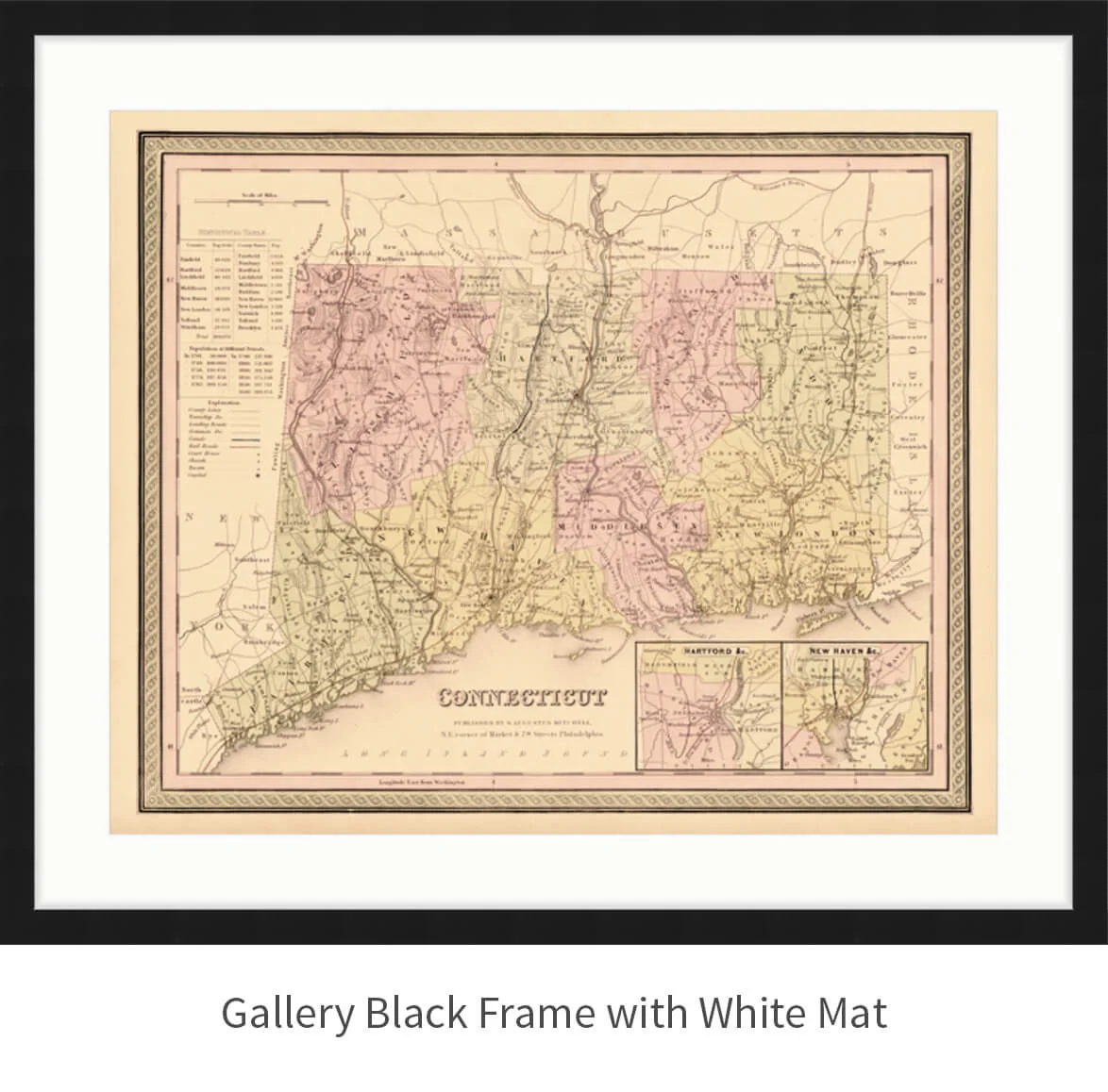
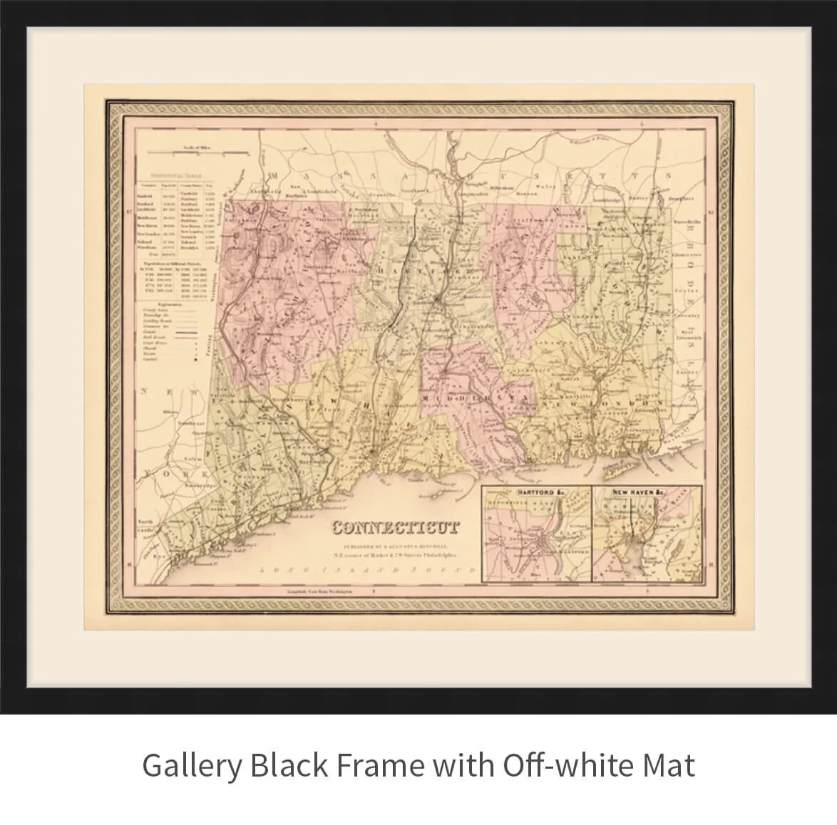
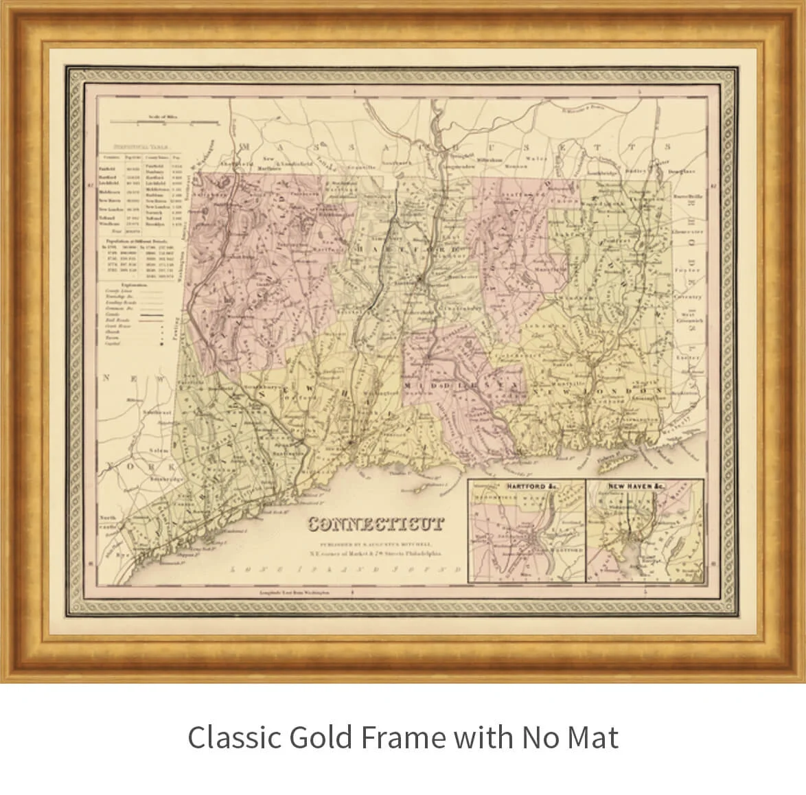
This colorful map of Connecticut is from the "New Universal Atlas" book printed in 1849, in Philadelphia. It features blown-up sections of Hartford and New Haven as well as population statistics from 8 counties and 11 cities.
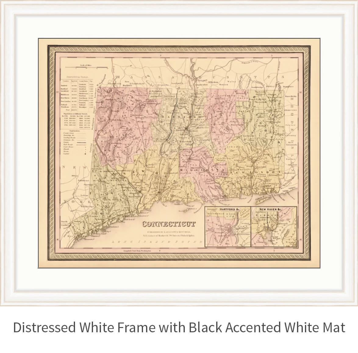
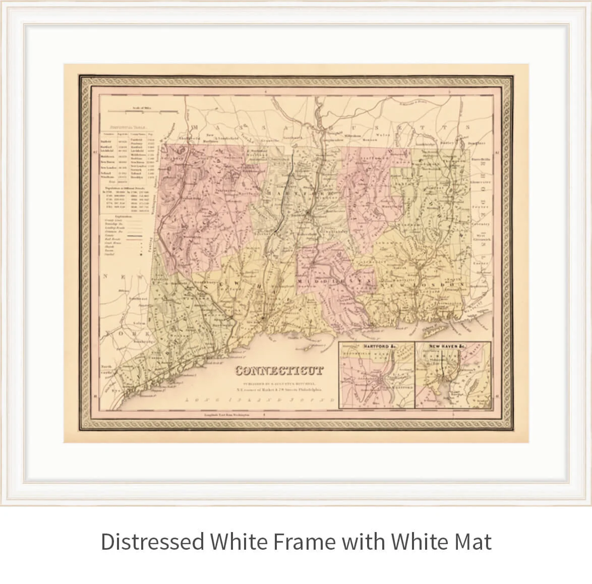
Click the image thumbnails to view frame and mat options.
Frame:
Size:
Mat:
Quantity:
Looking for more frame and mat options?
Shoot us a message and we will get you our full range of custom options.


